

This morning I took Powderhorn down from near the top. The trail goes all the way along the West end of the ski area boudary.
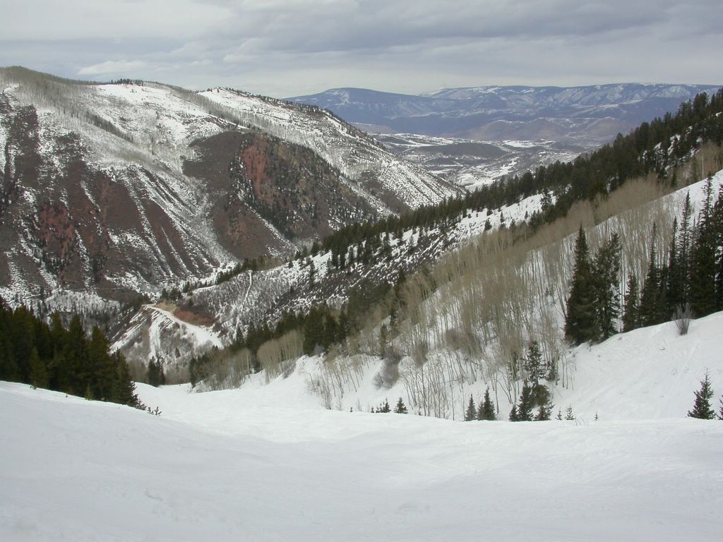
From the gate, it looks easy. But after the first rise, you see what you're in for. The trail is moguls all the way down. It's probably at least 3 miles long. I began to feel like a human shock absorber after a few minutes.
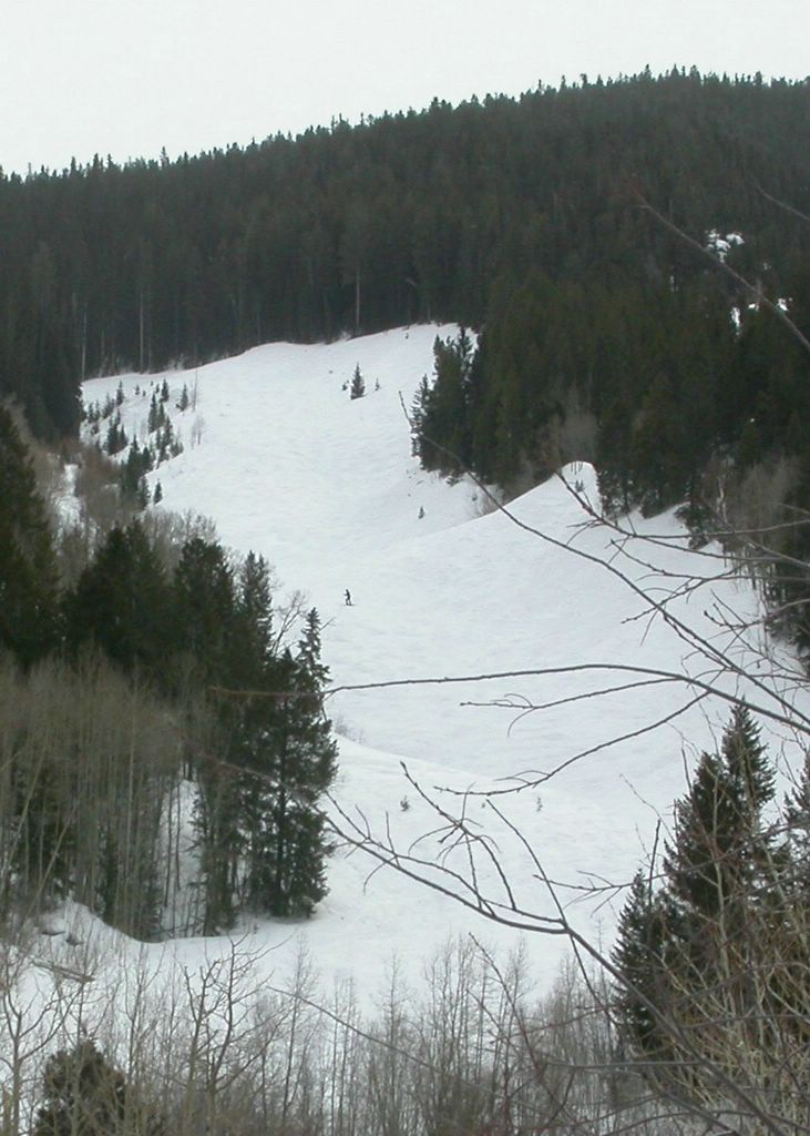
Here's the view from the bottom, looking back up at the last stretch.

After the steep downhill bit, there was a road that wrapped back around toward the main ski area. To the left of the road was a near sheer dropoff, with not much in the way of snow cover. As though it were not obvious, the left side of the roadway had signs placed every fifty feet or so, advising skiers ski area boundary.

I met the family for lunch. Afterward, we skiied one run together. I took this photo using the timer delay on my little Nikon. I didn't quite get to the place where I wanted to before the shutter snapped. Oh well.

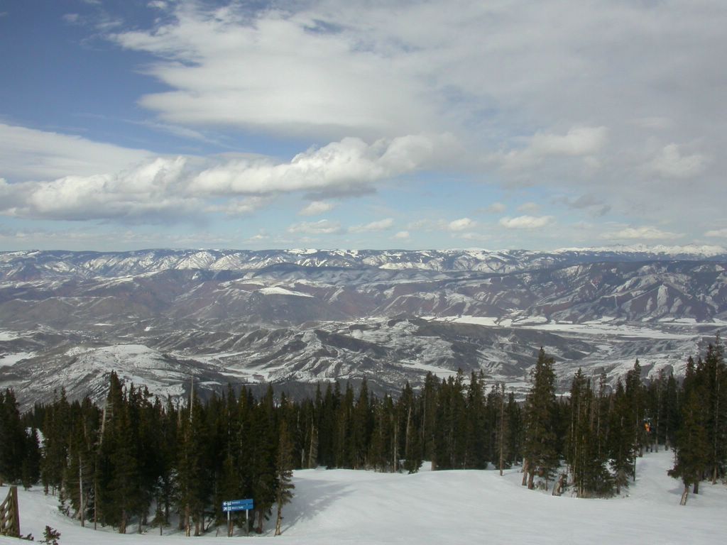
Then I went my own way and tried to make the best of the afternoon. The sun came out around 15.00, but the wind didn't subside. I had gone up High Alpine in the morning, but I heard from other skiers that the lift was closed around lunchtime due to the high winds.
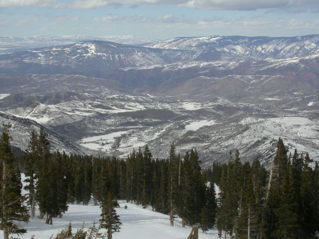
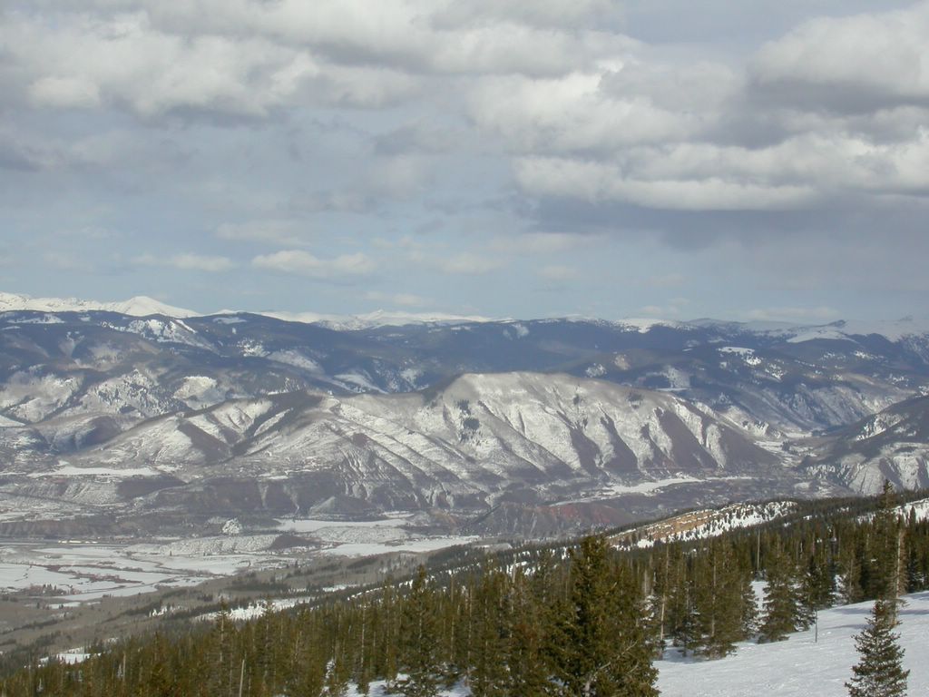
Once the skies cleared, the views were incredible.
Did I mention the views?

I timed my runs just perfectly today. I caught Alpine Springs up just 2 minutes before it closed, went down to the bottom and caught Village Express up. I then skied down and caught Big Burn just a few minutes before it closed for the end of the day. I took this photo of Snowmass Mountain (the white-capped one in the distance) on the way up the Big Burn lift around 16:05.
Down the valley to the East is the town of Aspen.
No comments:
Post a Comment